
…………and Dr Mark Wiggins of the South West Coastal Monitoring service knows by how much.
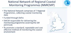
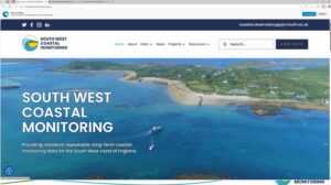
The SWCMS is funded by DEFRA and hosted at Plymouth University, and Dr Wiggins gave Coastwise members an overview of the activities it undertakes.
The objective of the service is to make publicly available, for all, data on the way that coastal areas are responding to erosion. These data might be of use to local councils, householders, developers, conservation and ecology organisations, or anyone with an interest in the coast.
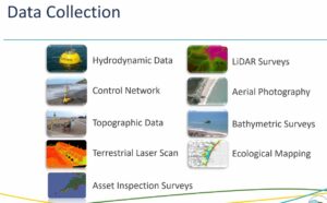
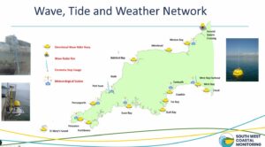
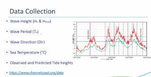
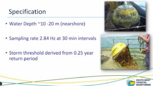
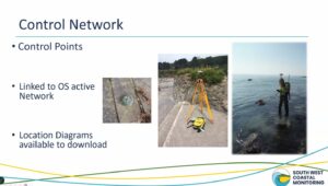
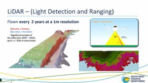
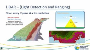
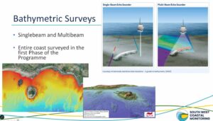
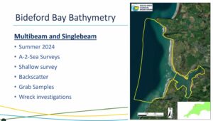
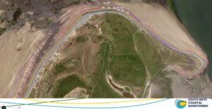
Data has been gathered since 2006 by a number of means; aerial photography and LIDAR by manned aircraft and unmanned aerial vehicles (UAVs), ground surveying by reference to fixed survey points, carried out by contractors, bathymetric surveys by sidescan and single point detection and a network of recording and transmitting buoys at sea.
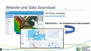
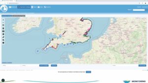
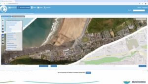
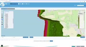
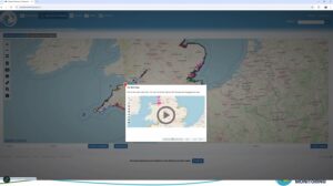
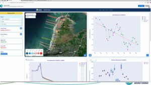
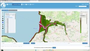
However, the key to all this is access to the data and map viewer, available at www.channelcoast.org.data. The attached images illustrate how data can be accessed and reports downloaded.
The availability of this type of data came as a revelation to Coastwise members, and doubtless to most members of the public, but we pay for it ultimately through taxes.
Dr Wiggins showed a complete mastery of his topic, with an excellent talk and discussion.